KUALA LUMPUR, AUGUST 2026 — Forest and land fires have affected multiple areas across East Kalimantan, with the provincial disaster management agency recording 413 fire locations covering 936.95 hectares as of August 19, 2026.
West Kutai recorded the largest burned area at 269.34 hectares across 70 fire locations. Meanwhile, Paser reported the highest number of incidents with 85 locations, followed by Samarinda with 75 and West Kutai with 70.

Other affected areas include Kutai Kartanegara, Berau, East Kutai, North Penajam Paser, Balikpapan and Bontang. Officials said fires are currently being closely monitored in large regions such as Berau, East Kutai and Kutai Kartanegara.
In Kutai Kartanegara, many fires have occurred close to communities and on land used by local residents. Around 215 hectares have burned in the regency, highlighting the growing risk to populated and agricultural areas.
Firefighters are facing major challenges in reaching some hotspots because roads and terrain prevent personnel and equipment from getting close to the flames. Limited water sources are also complicating operations, particularly when fires spread across large areas.
Authorities said the scale of the fires requires cooperation between provincial and district disaster management agencies as well as other government institutions. Limited personnel and firefighting equipment remain additional concerns during large-scale operations.
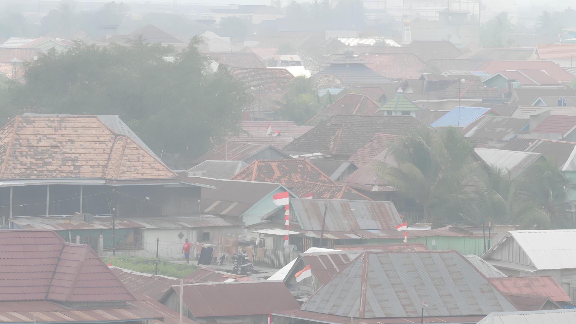
So far, officials have not received reports of significant disruption to daily activities from wildfire smoke across East Kalimantan. However, Kutai Kartanegara has requested additional assistance, including masks and firefighting hoses, from the provincial disaster agency.